pyrenean thru hike
telling my journey trying to cross the pyrenees by foot
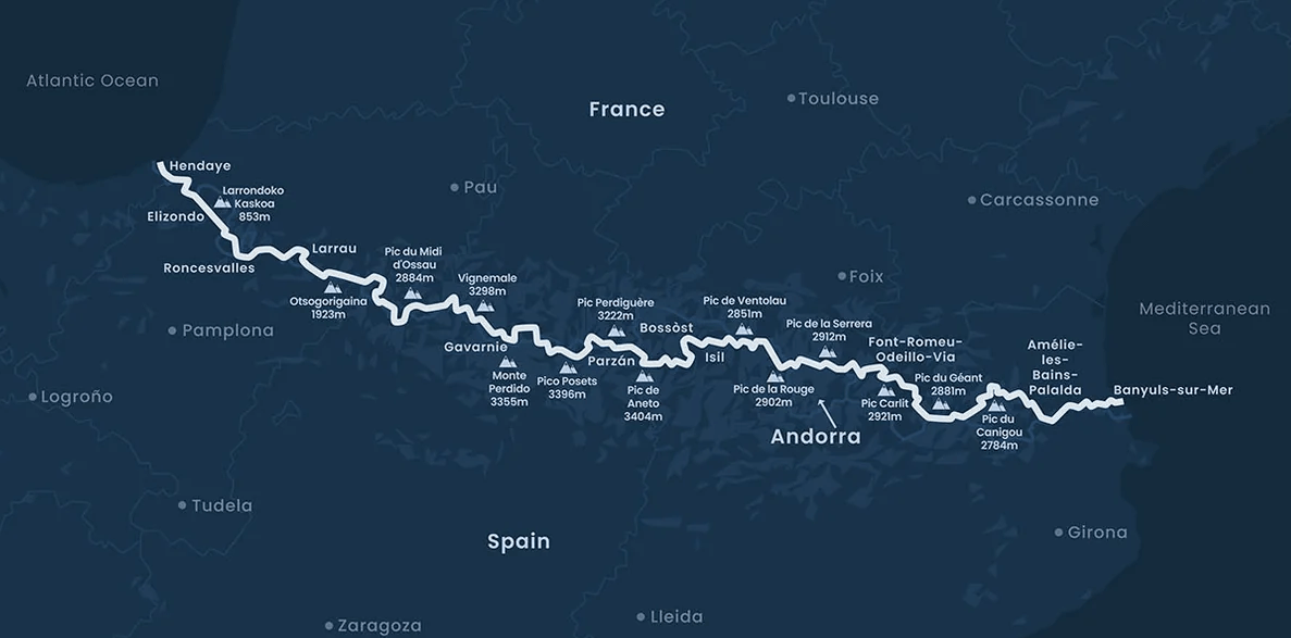
on summer of 2024 I challenged myself into new adventure. crossing the pyrenees mountains by foot in less than 30 days. First of all, I’ll sadly make it clear that I couldn’t finish it . However, being my first time in such a journey alone was mesmerizing.
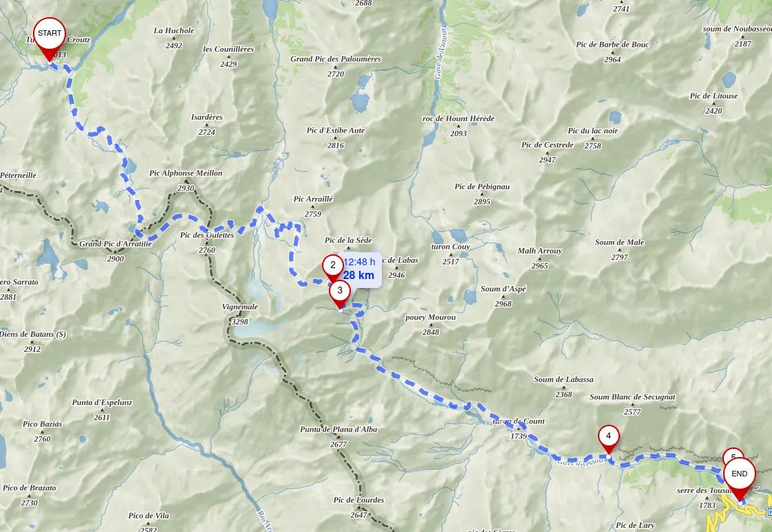
My goal was to complete the 700/800km following GR10/HRP/GR11.
Here go some highlights and stories.
Day 0
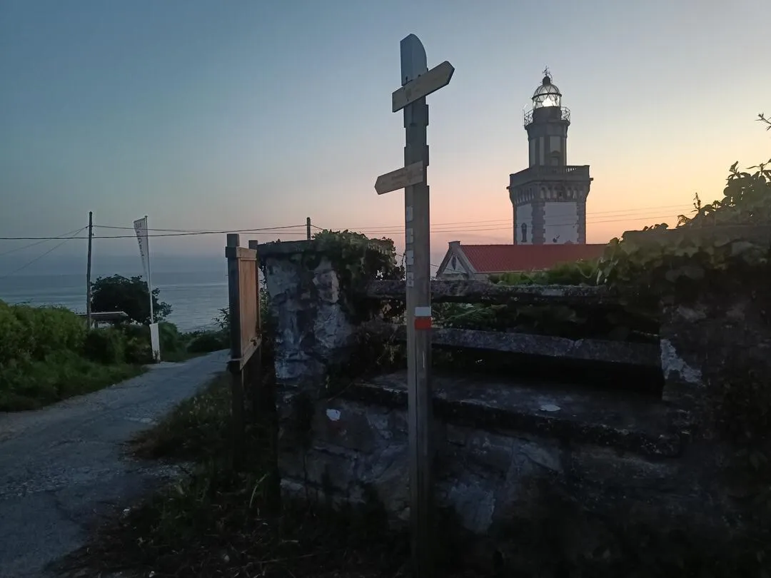
my journey started from Alicante, Spain. I took a train all the way to the west of the Pyrenees to the starting town of Irún. I got there at around 12AM on the last arriving train to the station. I had some hours before starting so I walked to the lighthouse 5/6km away where I hoped to find a spot to sleep for a couple hours until sunrise.
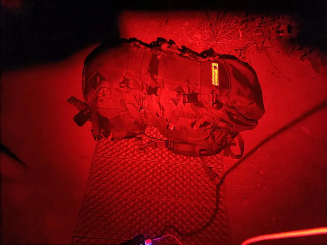
At the foot of the lighthouse I got comfortable in a hidden spot and rested until it was not dark.
Day 1
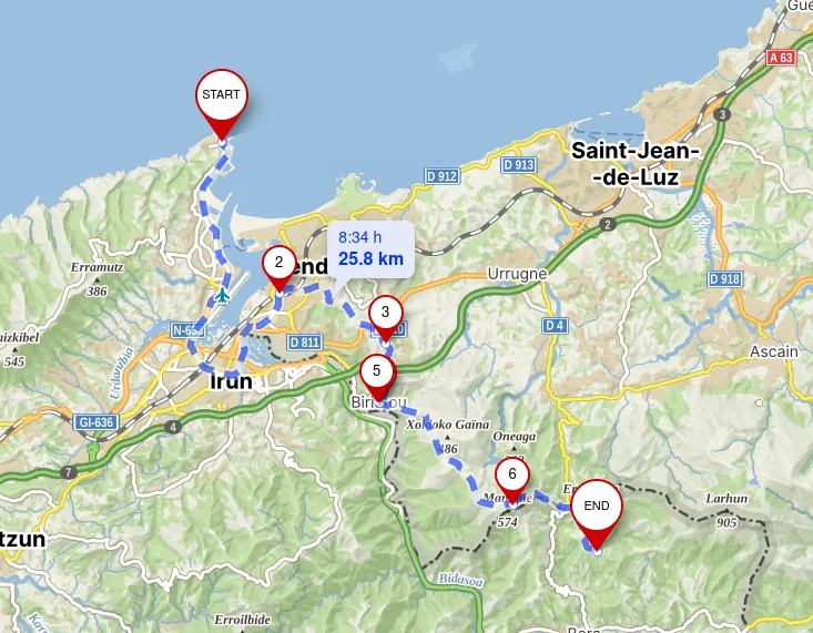
Route details
| Start | End | Distance |
|---|---|---|
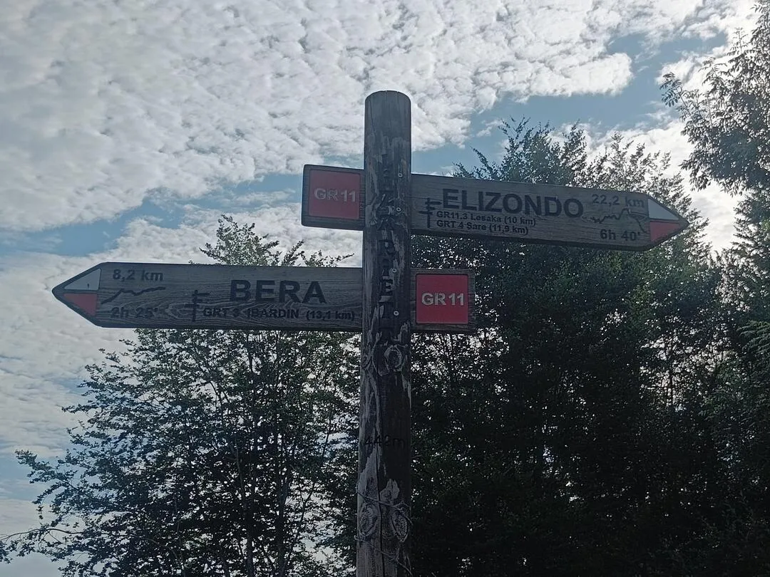
| Irún | Bera | 25.8 km |
I woke up to a beautiful sunny day next to Faro de Higuer.
Quickily, I packed the couple things I used at night and began walking following the very first red marking and continuing towards Hondarribia.
At 1pm it was really warm and after a very long day I found a quiet place to set camp and fell asleep out of exhaustion.
Day 2
Route details
| Start | End | Distance |
|---|---|---|
| Bera | Elizondo | 34.6 km |
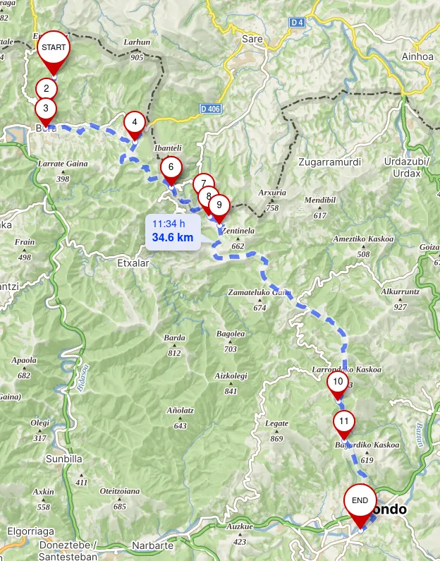
Next day I on route again at 8am. My next destionation was Elizondo.
Having walked around 35km from the coast the landscape changed a lot and helped to combat the warm weather.
I arrived at Elizondo and stayed at a hostel on a solo room for a reasonable price.
Day 3
Route details
| Start | End | Distance |
|---|---|---|
| Elizondo | Saroizar | 39 km |
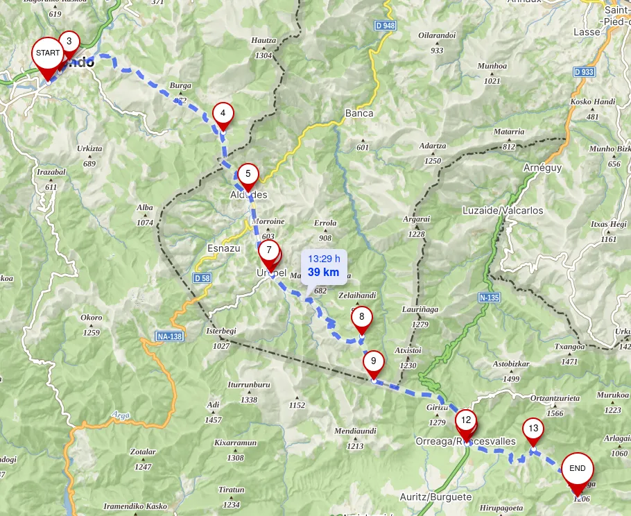
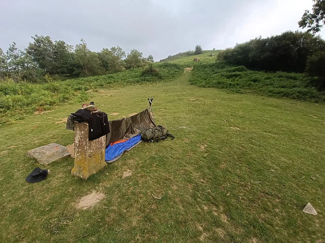
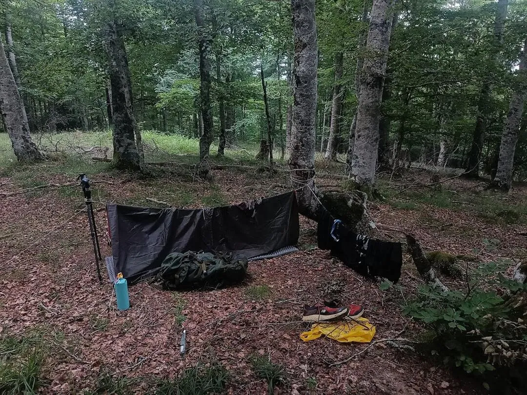
I continued passed Roncesvalles and at one point I left the trail for a few meters into the forest and setup camp for the night.
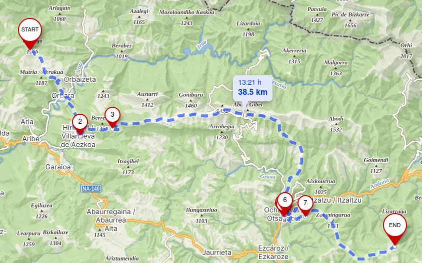
Day 4
Route details
| Start | End | Distance |
|---|---|---|
| Saroizar | Ochagavía | 38.4 km |
That morning the rain woke me up. Even if it was just a little chilly, my body was still getting used to it coming from the warm weather of the Mediterranean coast.
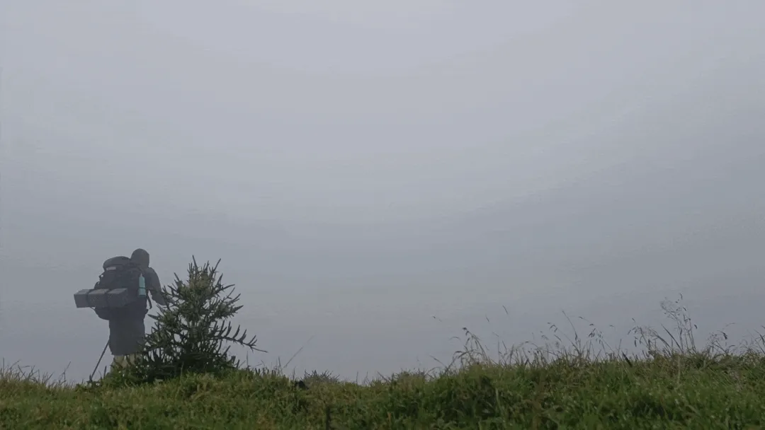
I put on my poncho and started the day by walking towards a little town. Little did I know this would be the most weather intensive day of the entire trip.
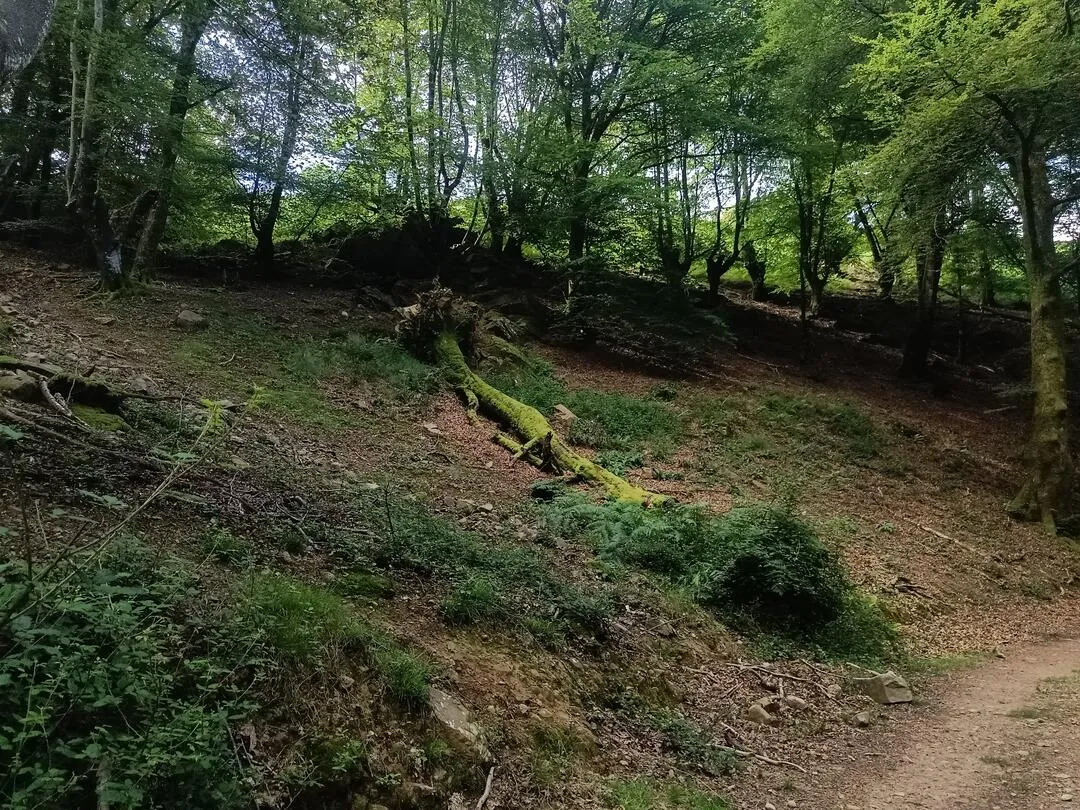
Once there I stopped for filling my waterbottle and followed a trail that went up a foggy mountain. Some hours later I was inside a dense fog which indeed wasn’t bad at all.
At some point I took a turn and so did the weather, as a strong and cold wind started blowing. I was still walking when I saw in from of me two sillouettes approaching. Two women which I talked to for some minutes and told me to not get the common route given the bad weather. I arrived to a crossroad and did what the women adviced me and follow the road.
Eventually I left the foggy and windy weather behind and finally arrived to Ochagavía and stayed the night at a camping.
Day 5
Route details
| Start | End | Distance |
|---|---|---|
| Ochagavía | Petraficha | 31.4 km |
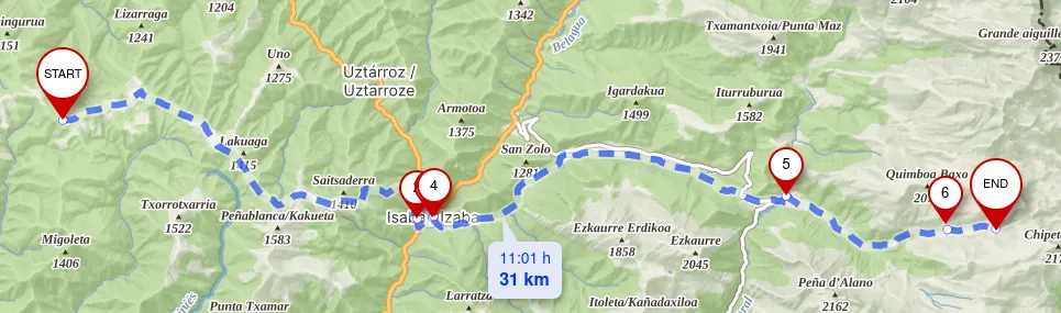
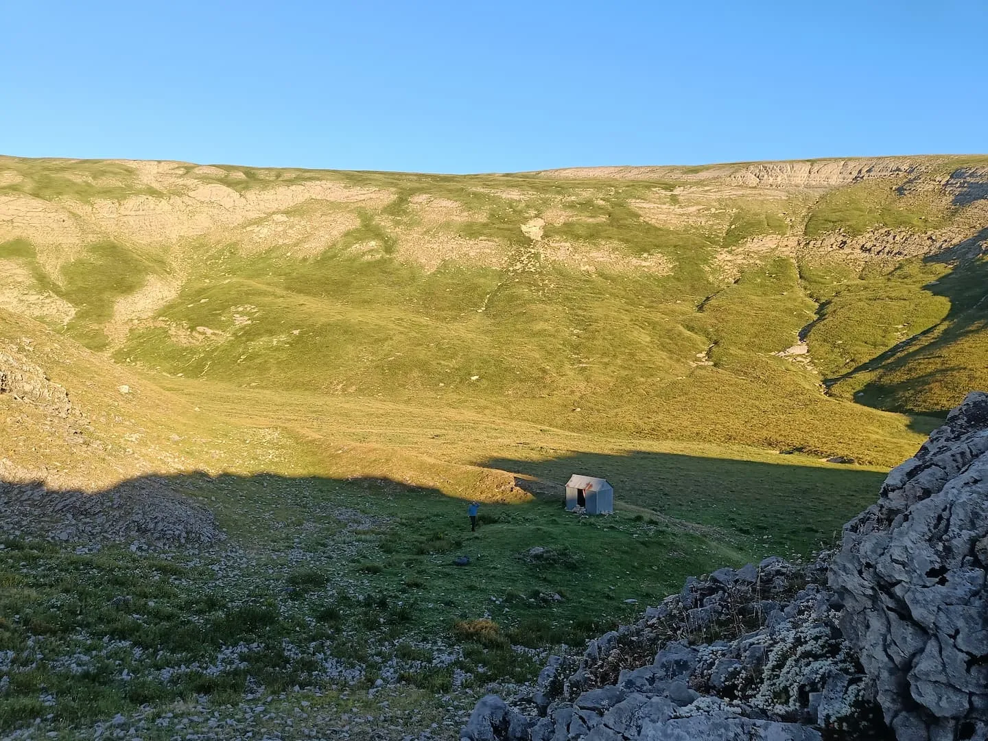
I woke up to a nice sunny day. Today’s goal was Isaba and to continue pass it. It was a long day.
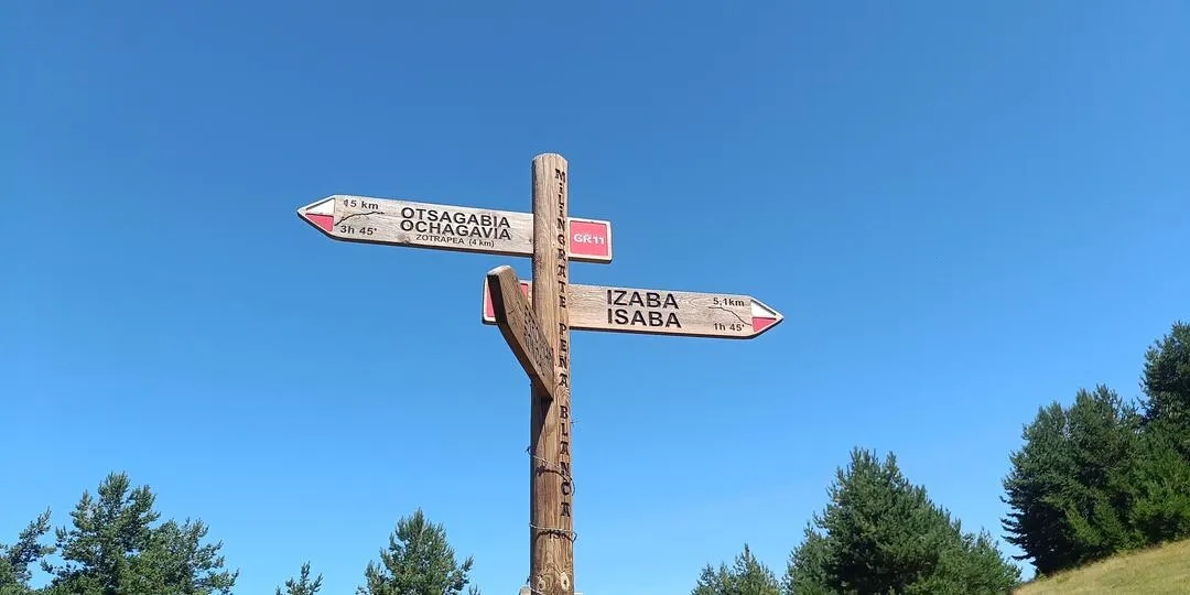
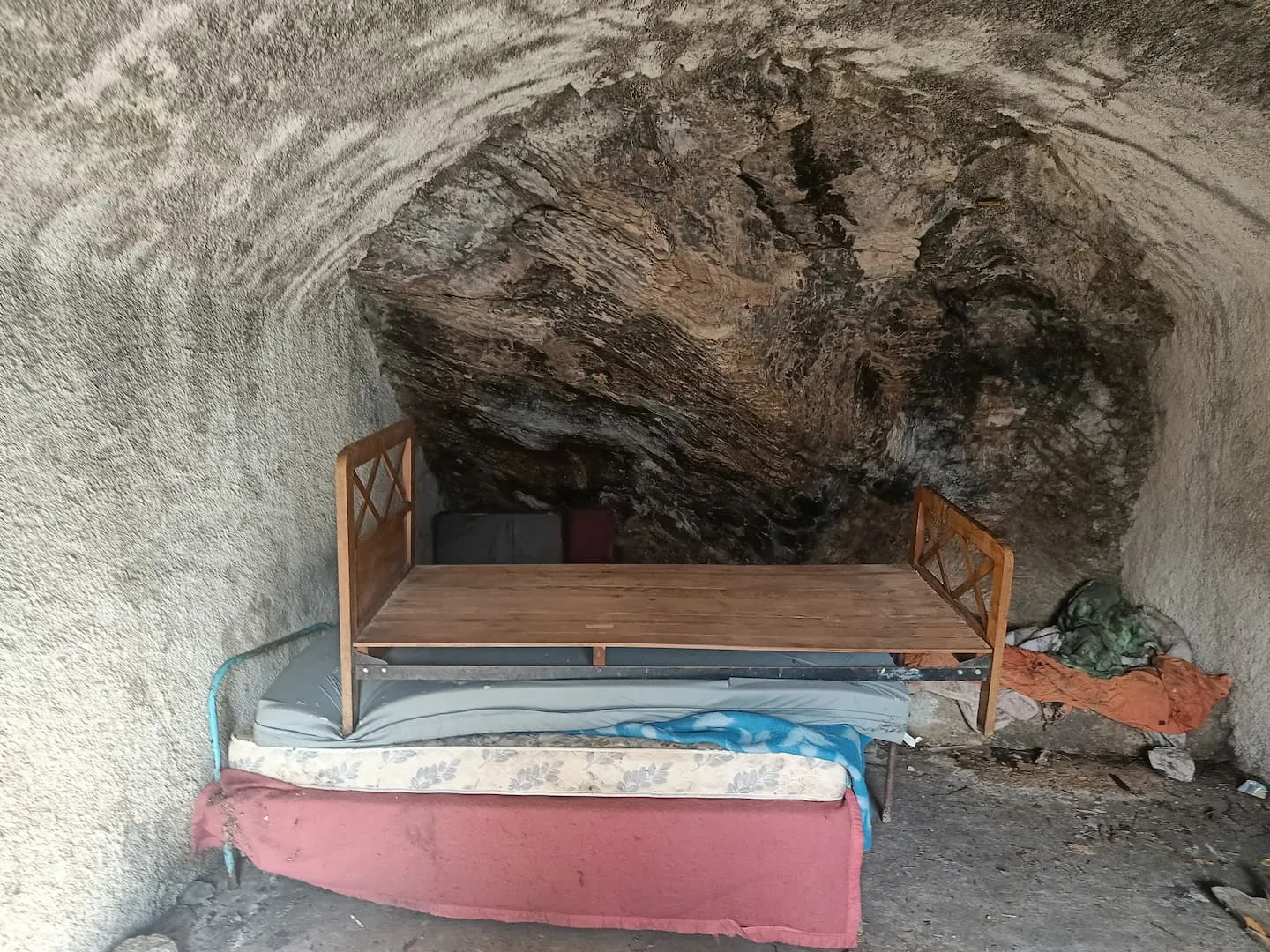
Passed Isaba and stayed beside its river chilling a bit when I noticed it was getting a little late. I continued and at 20PM I arrived to my tonight’s shelter, and I was not alone. A german guy was setting up his tent next to the cabin.
Day 6
Route details
| Start | End | Distance |
|---|---|---|
| Petraficha | Candanchú | 26.8 km |
I woke up late to the german guy leaving the camp. I later followed after him and met one last time at a valley.
We parted ways and I set my course towards Candanchú.
At arrival I quickily took a cold drink and booked a room at the hostel. Candanchú was located in a ski area so there was plenty of shelter. I ate a nice steak and went to bed.
Day 7
Route details
| Start | End | Distance |
|---|---|---|
| Candanchú | Caillou de Soques | 20.5 km |
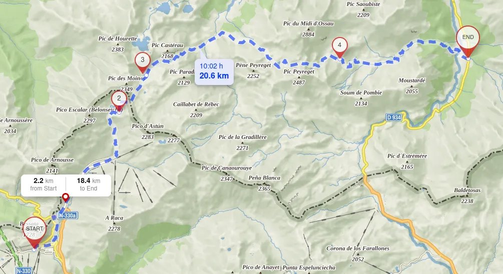
I spent the night throwing up (sorry to my room mates). I suspected I drank bad water two days prior, and now it was first hour of the day and couldn’t put myself together to start walking. Every step was a struggle, my body felt really weak.
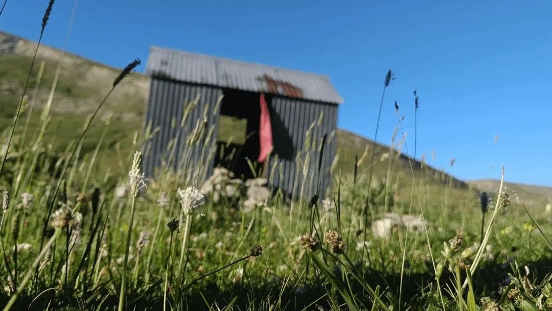
I kept going somehow, the Balaïtous at the distance and finally the day came of an end at this rugged shelter. I hadn’t achieved the set daily goal by some kilometers. However, now the focus was on recovering fast as I felt devastated and wondering how I was going to make it the next days.
Day 8
I rested +10h and still woke up with a bad trip. I needed a hot shower and good rest at least one night. This day didn’t go very well. I kept walking some hours, even did autostop at some point due to my inability to continue progressing.
I got off route and by 12pm I got a bus to at Sallent de Gállego to check at the doctor and rest for one night. A zero day.
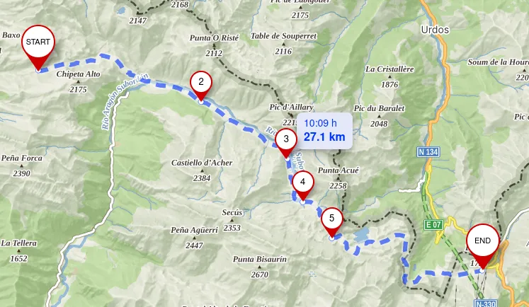
Day 9
Route details
| Start | End | Distance |
|---|---|---|
| Sallent de Gállego | Refuge Wallon | 20.8 km |
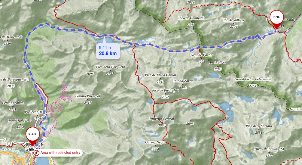
I woke up better, but not fully strong. The stomach ache was milder. I decided to continue the hike. I got on a bus again and stopped at the place I had left the day before.
I continue towards France to my next destination passing by some shelters like Respomuso.
At the top of this mountain and some distance left ahead of me, I was feeling really thirsty from the bad water still. Thirst was killing me. Finally I arrived, late in the day to Wallon.
Day 10
Route details
| Start | End | Distance |
|---|---|---|
| Refuge Wallon | Gavarnie | 28 km |
Morale was low as I couldn’t myself completing the thru hike. Despite all, I kept going.
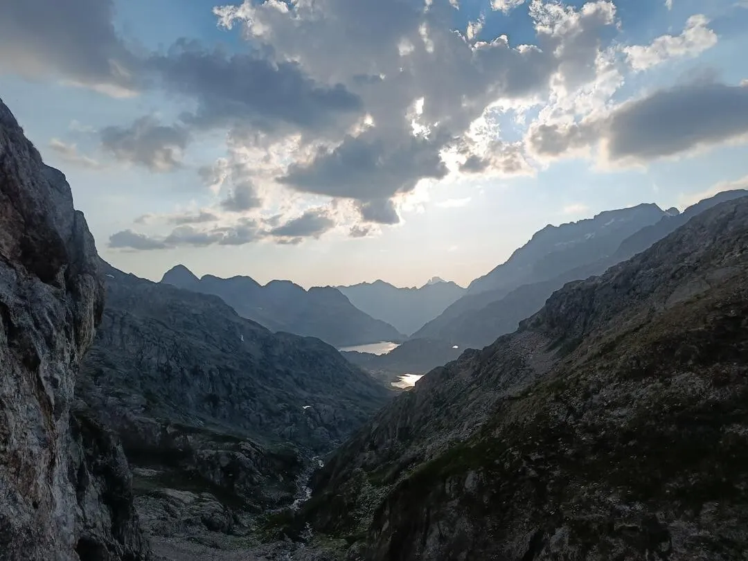
Crossing behind the north face of the Vignemale.
I arrived to Gavarnie and stayed at a hostel.
Day 11
Route details
| Start | End | Distance |
|---|---|---|
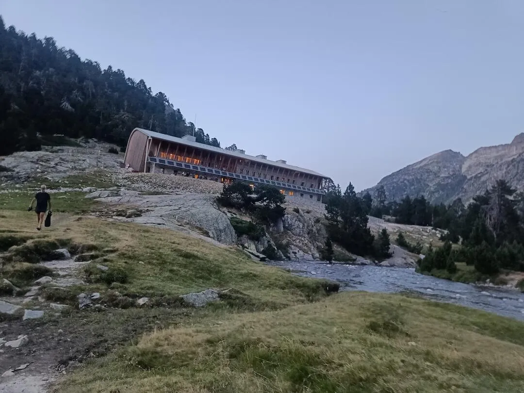
| Gavarnie | Góriz | 22 km |
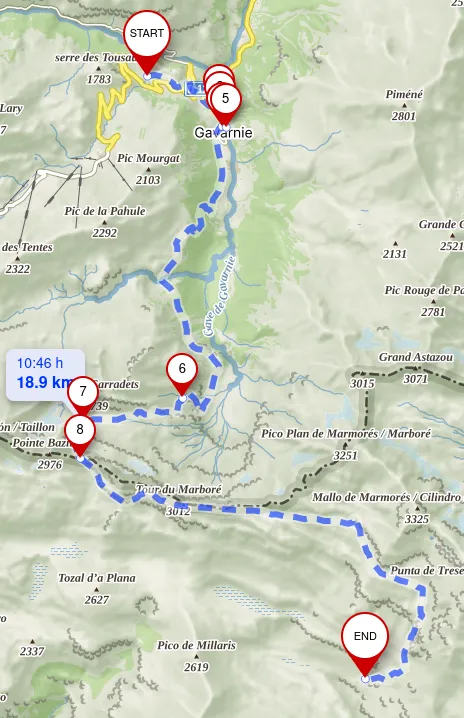
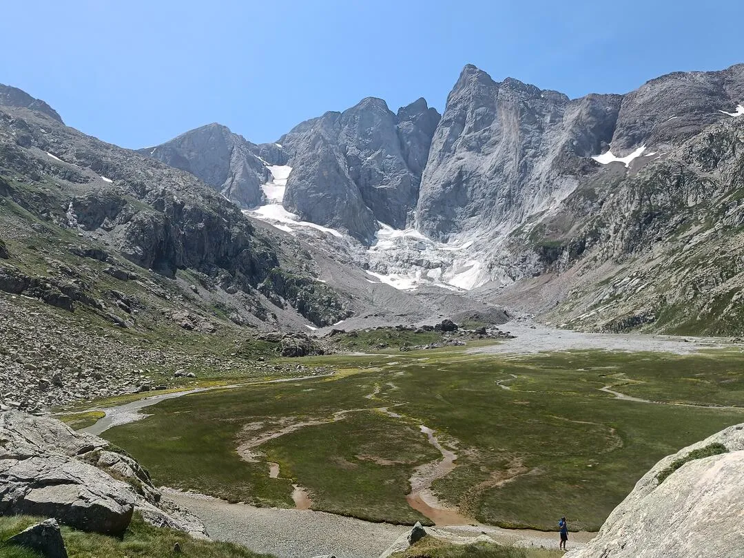
Today was my last and most enjoyable day. The landscapes were stunning.
I left Gavarnie and enjoyed the beautiful Cirque de Gavarnie with its waterfall.
It was a harsh walk all the way to the top but finally made it.
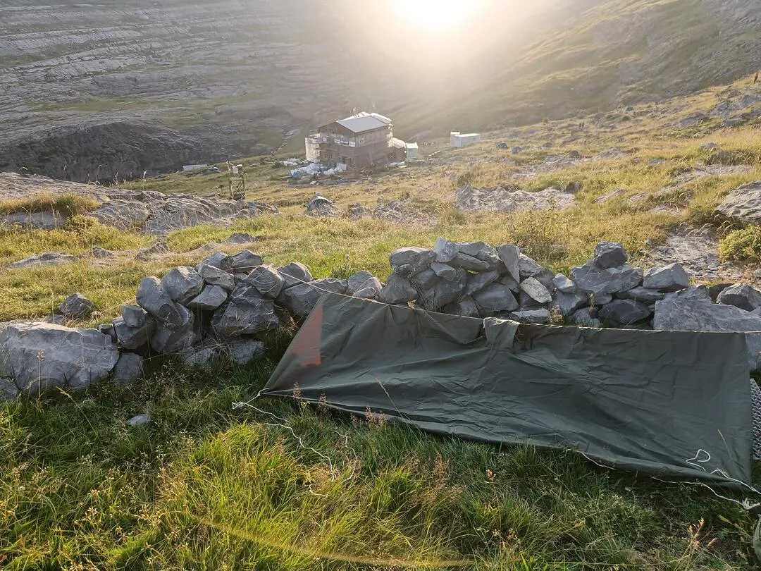
Now it was turn to get to Góriz, where I camped outside as it was fully booked.
Day 12
Route details
| Start | End | Distance |
|---|---|---|
| Góriz | Bielsa | 22.8 km |
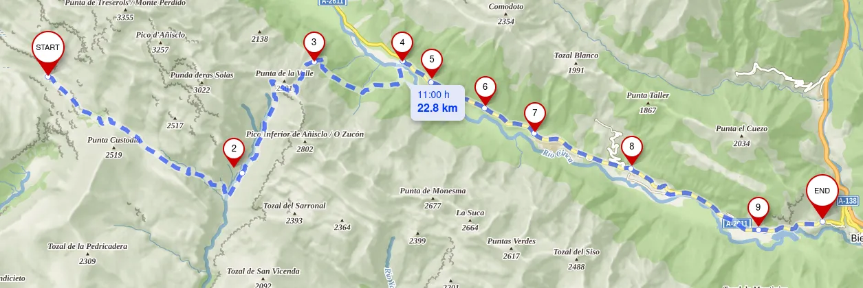
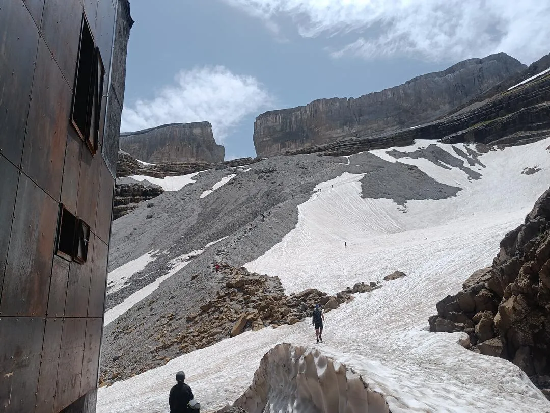
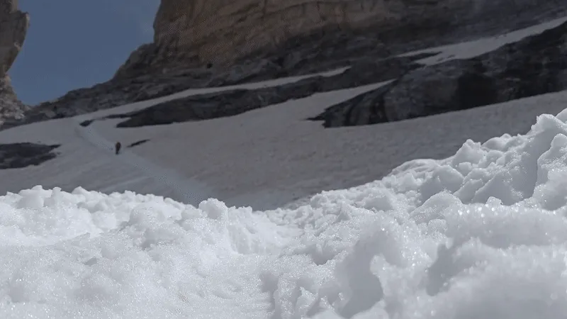
I arrived woke up to a bunch of people early starting the climb to Monte Perdido.
I crossed Añisclo and through the Refugio de Pineta all the way to Bielsa where I spent the night and got in a car back home the next day.
Thoughts
The trip was amazing. I met incredible people. I got the best of emotions and some frustating moments. Overall it was great and I wish continuing thru hiking.